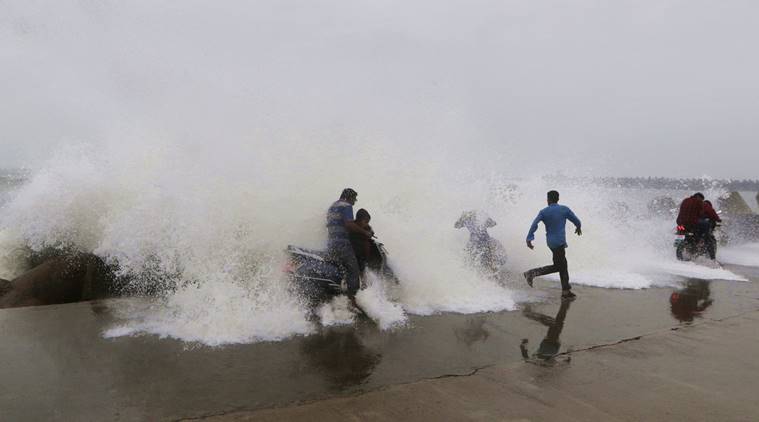
Bhubaneswar: Isolated heavy rainfall is most likely to occur in most parts of south and western Odisha in the next 12 hours under the influence of the cyclonic storm Phethai, which weakened into a deep depression after the landfall near Kakinada in Andhra Pradesh on Monday, the India Meteorological Department (IMD) said in a release.
According to the release, the cyclonic storm over Coastal Andhra Pradesh which had a landfall near Kakinada in Andhra Pradesh at noon on Monday has moved in the north-north-east direction with a speed of 13 kmph during the last six hours and weakened into a deep depression with the wind speed of 55-65 kmph gusting to 75 kmph and lay centred close to Kakinada in the north Coastal Andhra Pradesh.
It is likely to move in the north-east director and again cross Andhra Pradesh coast close to Tuni tonight and gradually weaken further into a depression in the next six hours and into a well-marked low pressure area during the subsequent six hours.
Under its influence, isolated heavy rain is likely to occur in Koraput, Rayagada, Kalahandi, Gajapati, Malkangiri, Ganjam, Puri, Kandhamal, Nabarangpur, Nuapada, Bargarh, Balangir, Jharsuguda, Sambalpur and Sundargarh districts from Monday night till 8.30 am the following day.
Strong wind speed reaching 30-40 kmph gusting to 50 kmph likely along and off the south Odisha coast during the next 12 hours.
The fishermen have been advised not to venture into west-central and adjoining north-west Bay of Bengal and along and off the south Odisha coasts during the next 12 hours.
In view of the inclement weather, local cautionary signal No-3 has been hoisted at Gopalpur port and distance cautionary signal No-1 at the remaining ports in the state.
Comments are closed.