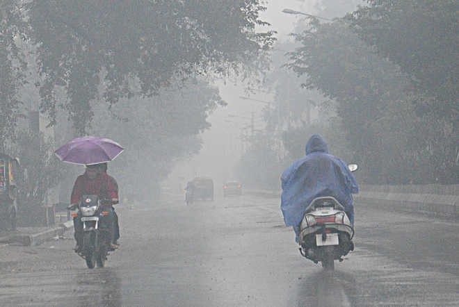
Bhubaneswar: A low-pressure system developing over the Bay of Bengal is likely to trigger heavy to very heavy rainfall in coastal and interior Odisha in the next 48 hours.
According to the regional office of the India Meteorological Department (IMD) here, an upper air cyclonic circulation persists over North-West Bay of Bengal and adjoining Gangetic Bengal and Odisha. This is most likely to turn into a low-pressure system.
Under its influence, most parts in Odisha will experience rainfall till October 9 while coastal and interior pockets will witness heavy to very heavy rainfall, the Met office said.
Strong and gusty surface wind speed reaching 35 to 45 kmph likely to prevail along and off Odisha coast for which fishermen have been advised to be cautious while venturing into the sea.
Earlier in the day, thunderstorm and lightning warning was issued for Rayagada, Koraput, Malkangiri, Boudh, Sonepur, Kandhamal, Sambalpur, Deogarh, Sundergarh, Puri, Khurda, Nayagarh, Angul, Cuttack, Jagatsinghpur, Kendrapada, Keonjhar, Mayurbhanj, Balasore, Bhadrak, Jajpur and Dhenkanal districts between 4.30 pm and 8.30 pm.
Comments are closed.