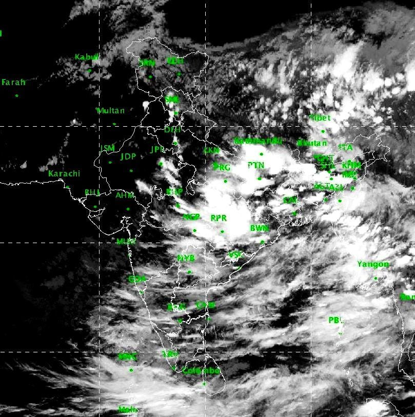
Bhubaneswar: While coastal Odisha has been witnessing moderate to heavy rainfall since Thursday night under the influence of a cyclonic circulation, the India Meteorological Department (IMD) on Monday sounded similar warning for the state in the next 12 hours.
“The cyclonic circulation over the north-west Bay of Bengal off the Odisha-West Bengal coasts is most likely turn into a low-pressure area over Odisha and neighbourhood during the next 24 hours. Under its influence, heavy to very heavy rainfall and heavy rainfall will lash one or two places across the state in the next 12 hours and continue till next three days, said a mid-day release by the Meteorological Centre, Bhubaneswar.
Keeping in mind the heavy rainfall in the state, the IMD has issued orange and yellow warning for the following districts.
August 24
(Orange warning)
Heavy to very heavy rainfall in Keonjhar, Dhenkanal, Jajpur, Cuttack, Jagatsinghpur and Puri.
(Yellow warning)
Heavy rainfall in Kendrapara, Mayurbhanj, Balasore, Sundargarh, Angul, Khurda, Ganjam, Gajapati, Rayagada, Koraput and Malkangiri.
August 25
(Orange warning)
Sundargarh and Keonjhar
(Yellow warning)
Mayurbhanj, Jharsuguda, Deogarh, Sambalpur, Bargarh, Sonepur, Boudh, Balangir, Angul, Kalahandi and Koraput.
August 26
(Yellow warning)
Sundargarh, Keonjhar, Jharsuguda, Sambalpur, Bargarh, Balangir and Nuapada.
Fishermen have been advised not to venture into sea on August 24 and 25 and those in the deep sea askef to return to the coast by Friday night as squally weather with gusty surface wind reaching 40-50 kmph along the Odisha coast and adjoining north-west and the west-central Bay of Bengal would make the conditions rough to very rough.
Comments are closed.